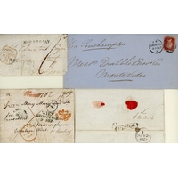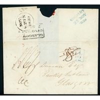
£110 - £150
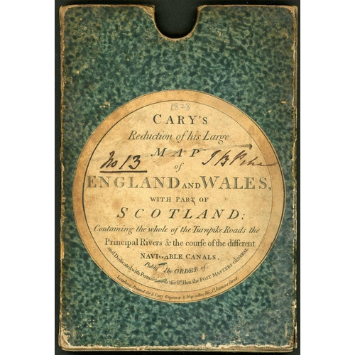
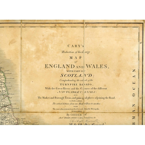
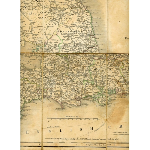
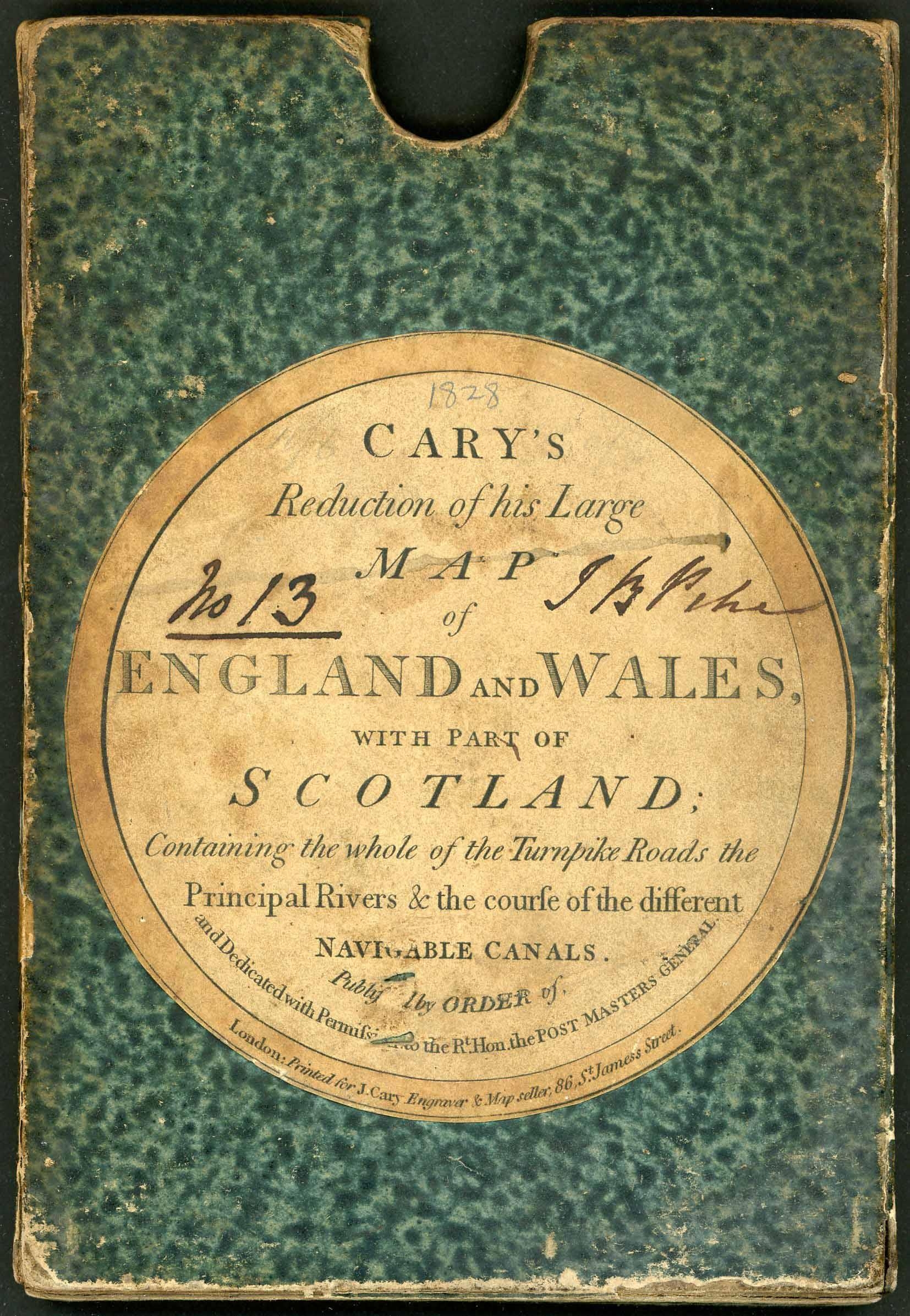
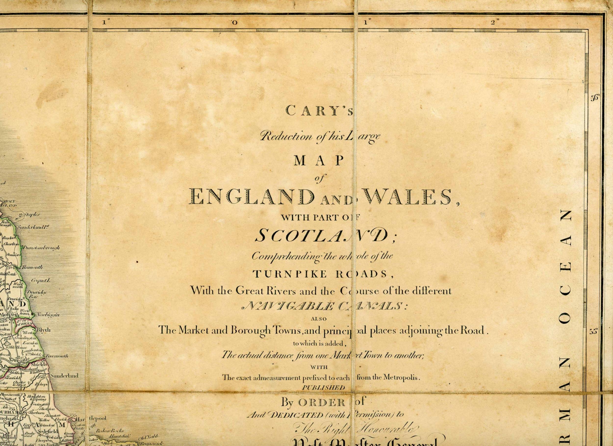
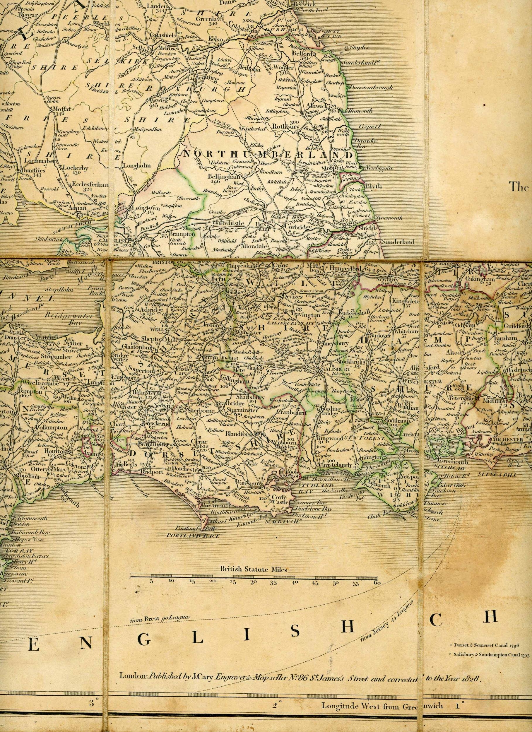
JOHN CARY'S LARGE SECTIONALISED BOXED HAND-COLOURED MAP OF ENGLISH/WELSH ROADS, ETC.; 1828 Edition of the folding map (sound condition but with light toning) entitled (also on label of original box) "Reduction of his Large MAP of ENGLAND and WALES, with part of SCOTLAND; Containing the whole of the Turnpike Roads, the Principal Rivers & the Course of the different NAVIGABLE CANALS. Published by ORDER of and Dedicated with Permission to The Rt. Hon. POST MASTERS GENERAL". Seldom seen in the original slip-in case; full of fascinating detail including the "exact" mileages from each market town to London, published in the last year before the P.O. abandoned mileage marks!Cross Reference: MAPS, COACHING
Fees apply to the hammer price:
Free Registration
24% inc VAT*