


£95
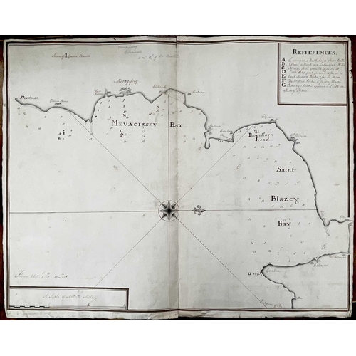
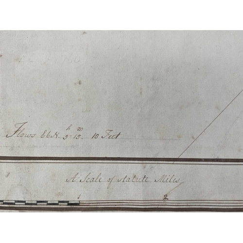
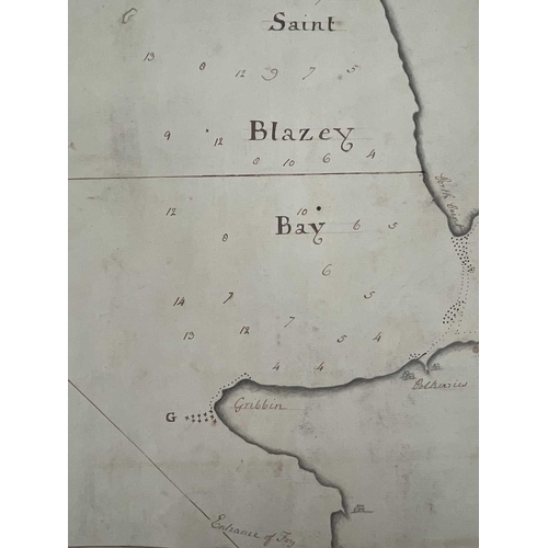
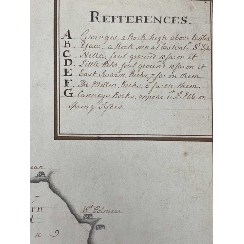
MAPS. A circa late 1700 hand-drawn sea chart of Mevagissey Bay and Saint Blazey Bay, showing Port Mellon, Mevagissey, Polzeath, Pentwan, Polpean, and Par amongst others, with a graphite compass rose, recorded depths, a reference table of hazardous rocks. A rare survivor that measures 48cm x 60.5cm.
Fees apply to the hammer price:
Free Registration
25.2% inc VAT*
Flat Fee Registration
21.60% inc VAT*

