R1,600
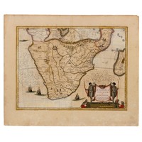
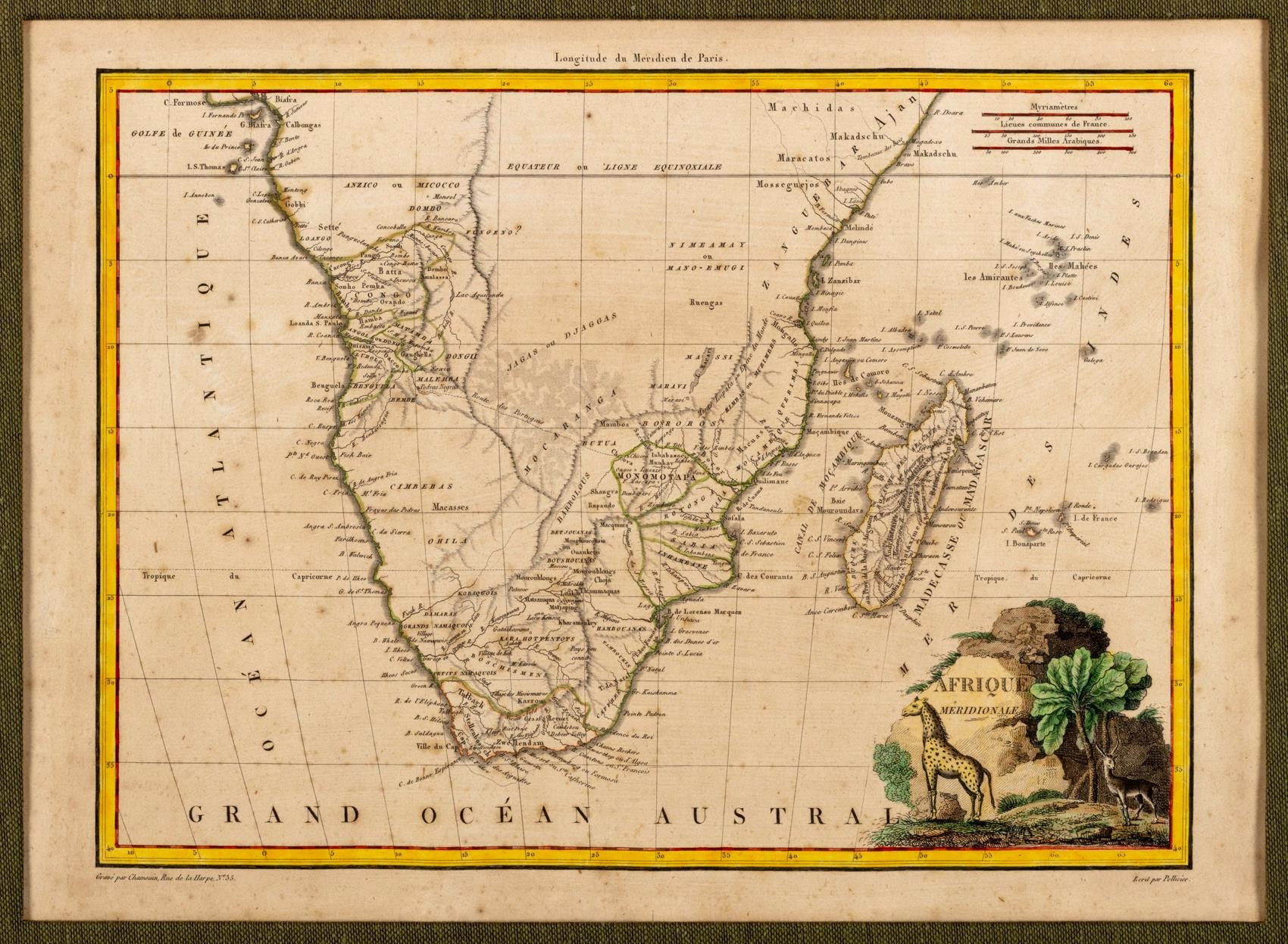
Malte-Brun - AFRIQUE MERIDIONALE
Conrad Malte-Brun
AFRIQUE MERIDIONALE
Paris: Francois Buisson (1809) [1812]
Copperplate, centrefold, outline colour, foxing, bottom left: Grave par Chamsuin; bottom right: Ecrit par Pellier; verso blank, paint show through, pencil note, edges taped to window mount; framed
from Atlas Complet
21,5 by 29,5cm
LITERATURE
Norwich #184 (variation, attributed to Pierre Lapie)
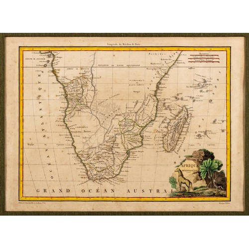
A rare map with the obsolete distance scale myriametres and the use of “Madecasse ou Madagascar”. The map also shows the route of Portuguese explorers from Luanda to Monomotapa and identifies the location of a Portuguese fort established in 1617, Pedras Nigras (the Black Rocks). Other interesting place names include “Village de Kok” on the Gariep or Orange River, which is possibly the settlement of Adam Kok, and “De Beer Valley” described in Barrow’s Travels as an oasis in a barren land.
REFERENCES
Barrow, John, An Account of Travels into the Interior of Southern Africa, London: Cadell & Davies, 1801
Tooley, RV, Map Collectors’ Circle No. 61, #181
Fees apply to the hammer price:
Free Registration
| 1 to 10000: | 19.55% inc VAT* |
| 10001+: | 16.1% inc VAT* |