
€400
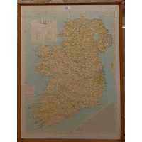
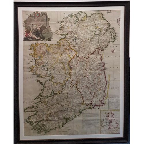
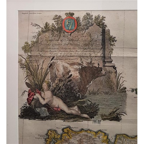
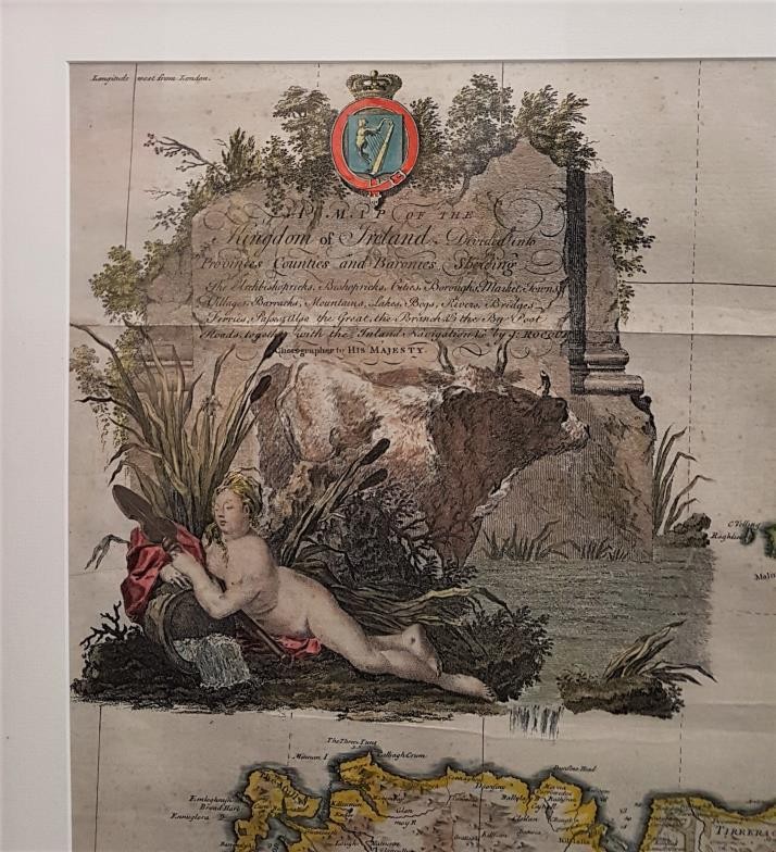
John Rocque's Map of the Kingdom of Ireland, divided into provinces, counties and baronies. Shewing the archbishopricks, bishopricks, cities, boroughs, market towns, villages, barracks, mountains, lakes, bays, rivers, bridges, ferries, passes, also the great, the branch & the by post roads together with the inland navigation, by J. Rocque, Chorographer to His Majesty. (London, printed for Robt. Sayer, opposite Fetter Lane, Fleet Street, 1790?). Framed size c.
Fees apply to the hammer price:
Free Registration
27.06% inc VAT*
Flat Fee Registration
23.37% inc VAT*