


£25
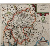
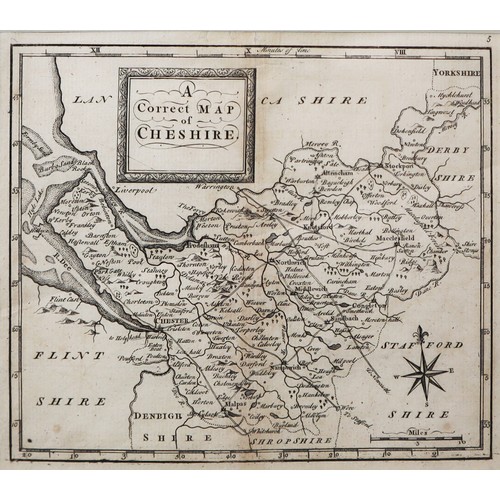
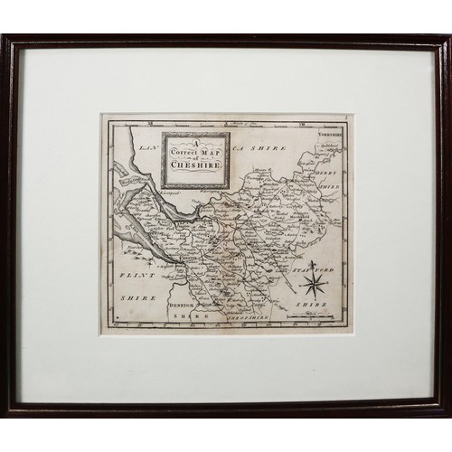
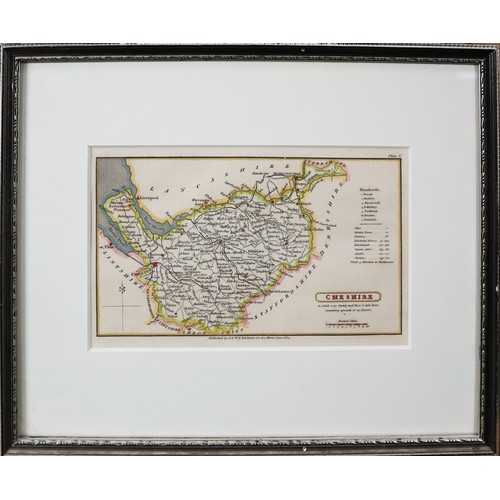
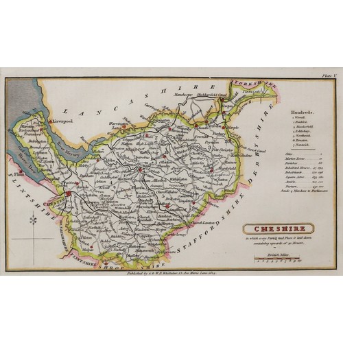
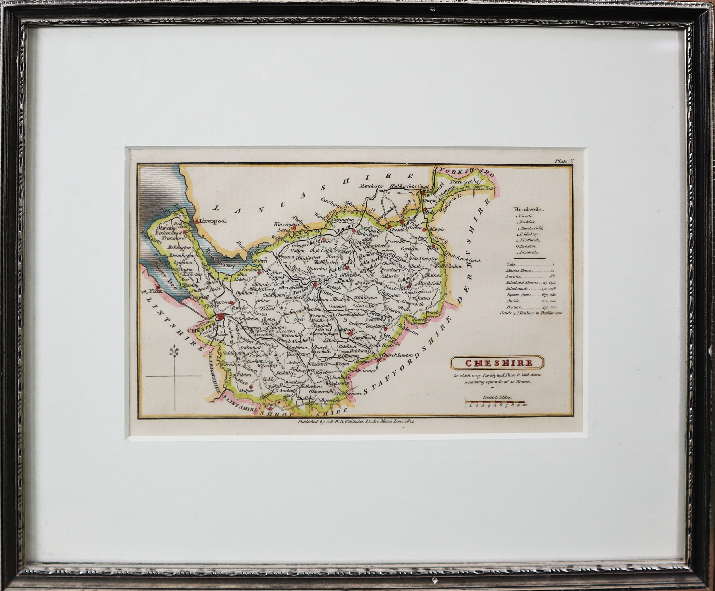
ANTIQUE MAP OF CHESHIRE BY T OSBORNE, FROM GEOGRAPHIA MAGNA BRITANNIAE, 5 ¾” X 6 ¾” (14.6cm x 17.1cm), and a HAND COLOURED ANTIQUE MAP OF CHESHIRE BY G & W B WHITTAKER, FROM A TOPOGRAPHICAL DICTIONARY OF THE UNITED KINGDOM, 4” x 7” (10.2cm x 17.8cm), both framed and glazed, (2)
C/R- Osborne, central crease taped and with minor foxing and discolouration, Whittaker, minor discolouration
Fees apply to the hammer price:
Free Registration
27.6% inc VAT*
Flat Fee Registration
24.00% inc VAT*