£220
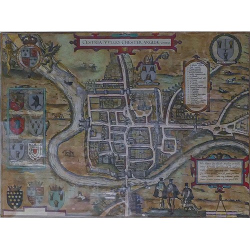
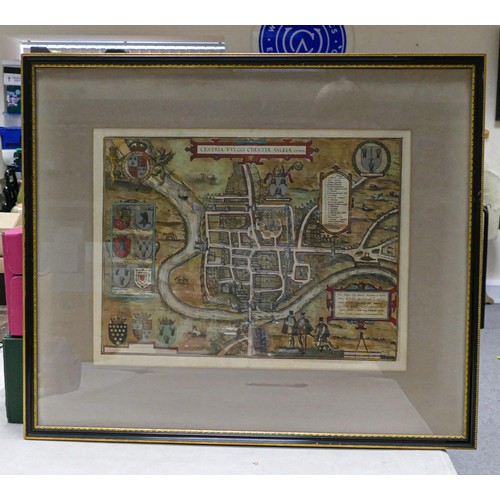
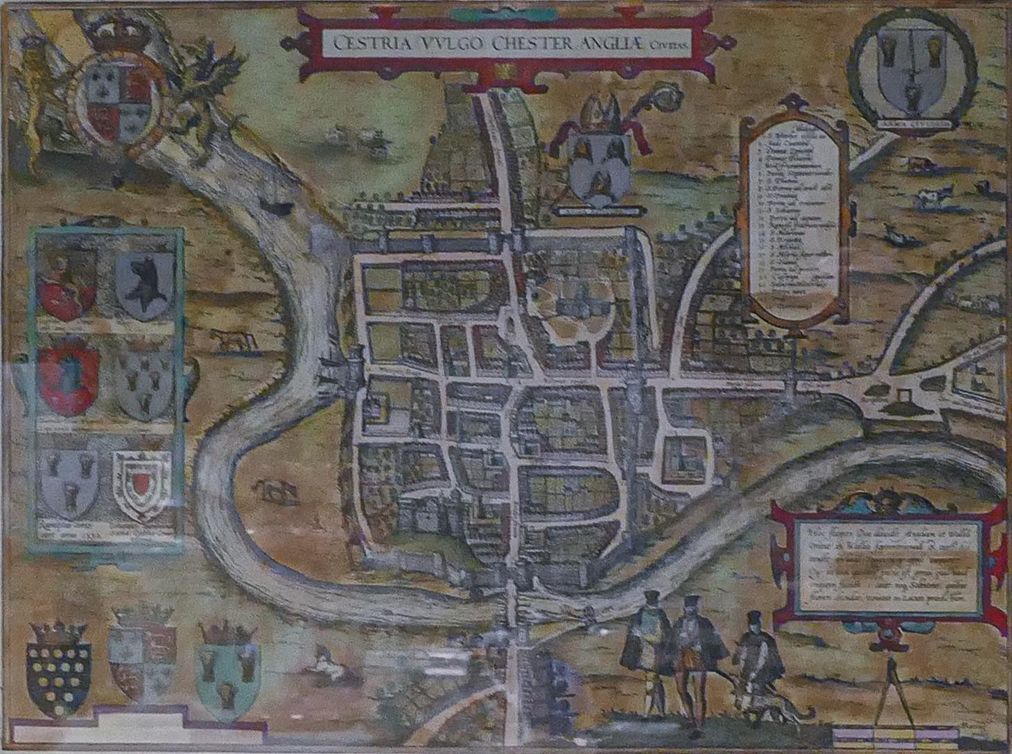
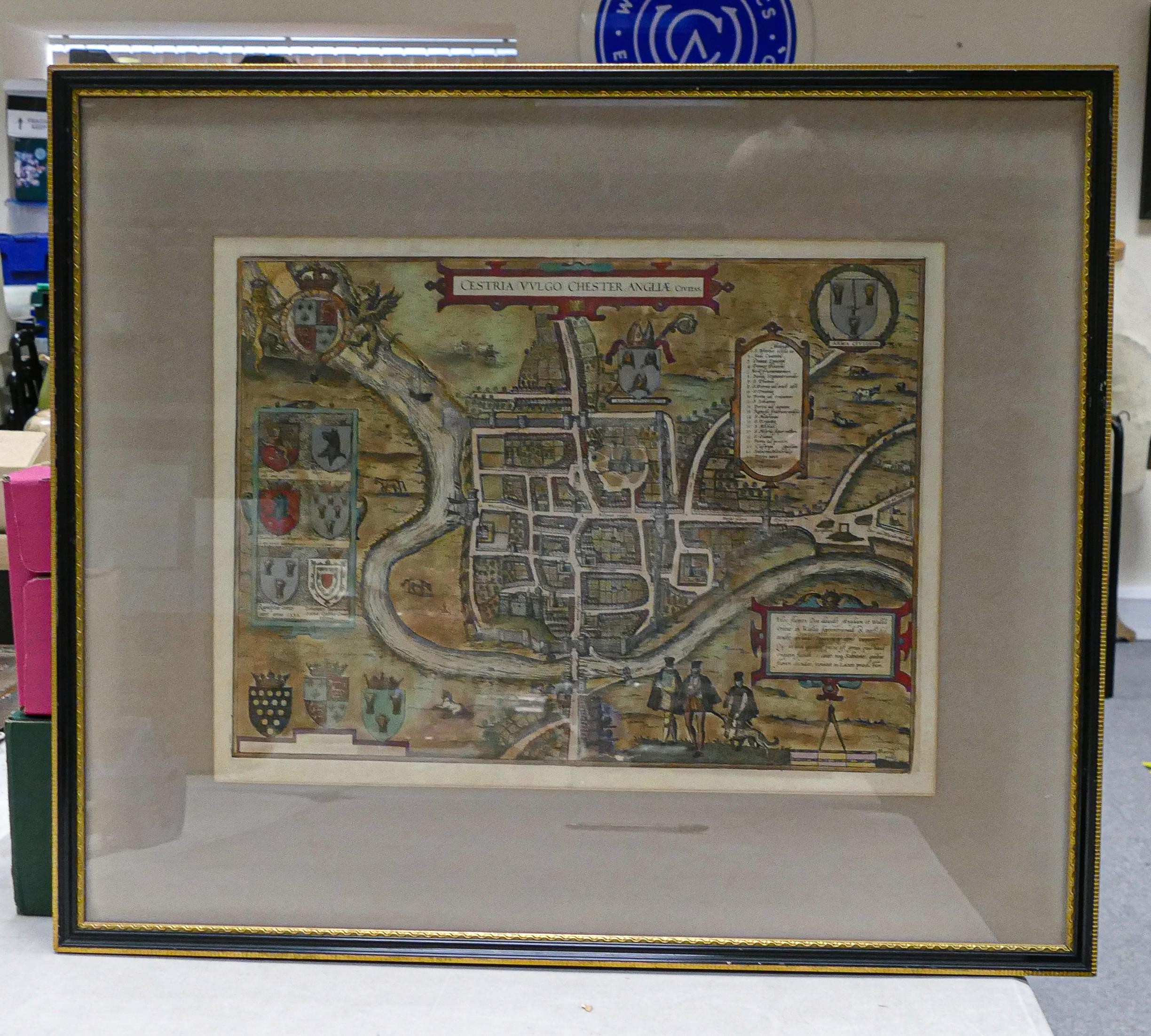
Map of Chester - Cestria (Vulgo) Chester, Anglia Civitas - Georg Braun and Frans Hogenberg, ca 1585. Coloured town plan of Chester from the landmark Braun & Hogenberg atlas of cities throughout the world entitled “Civitates Orbis Terrarum” first published in 1572. The plan, initially appearing in 1581, shows details of 16th century Chester including its protective walls, churches, coats of arms of the city and local nobles and residents in period clothing. Measuring 35cm x 46cm excluding mount & frame.
Fees apply to the hammer price:
Free Registration
27.6% inc VAT*
Flat Fee Registration
24.00% inc VAT*