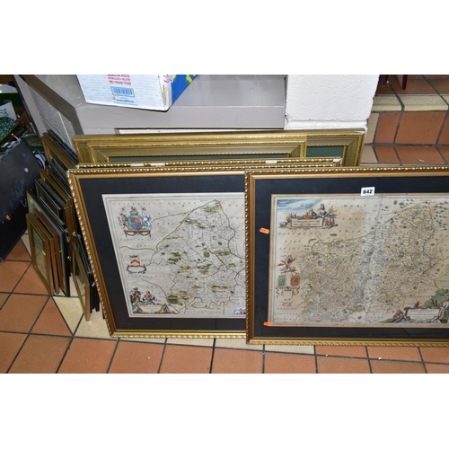
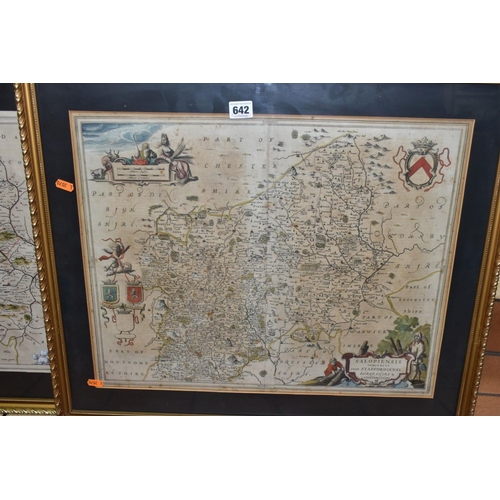
£420
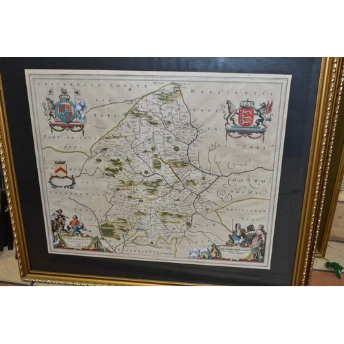
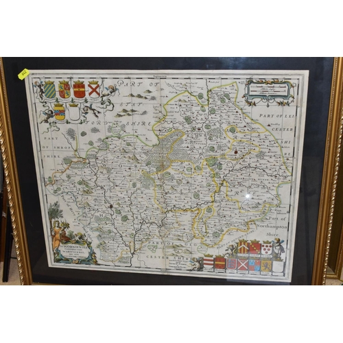
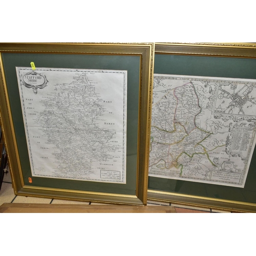
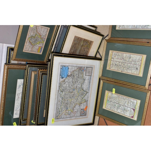
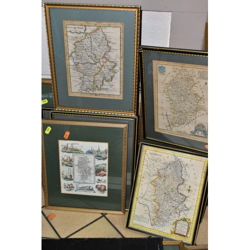
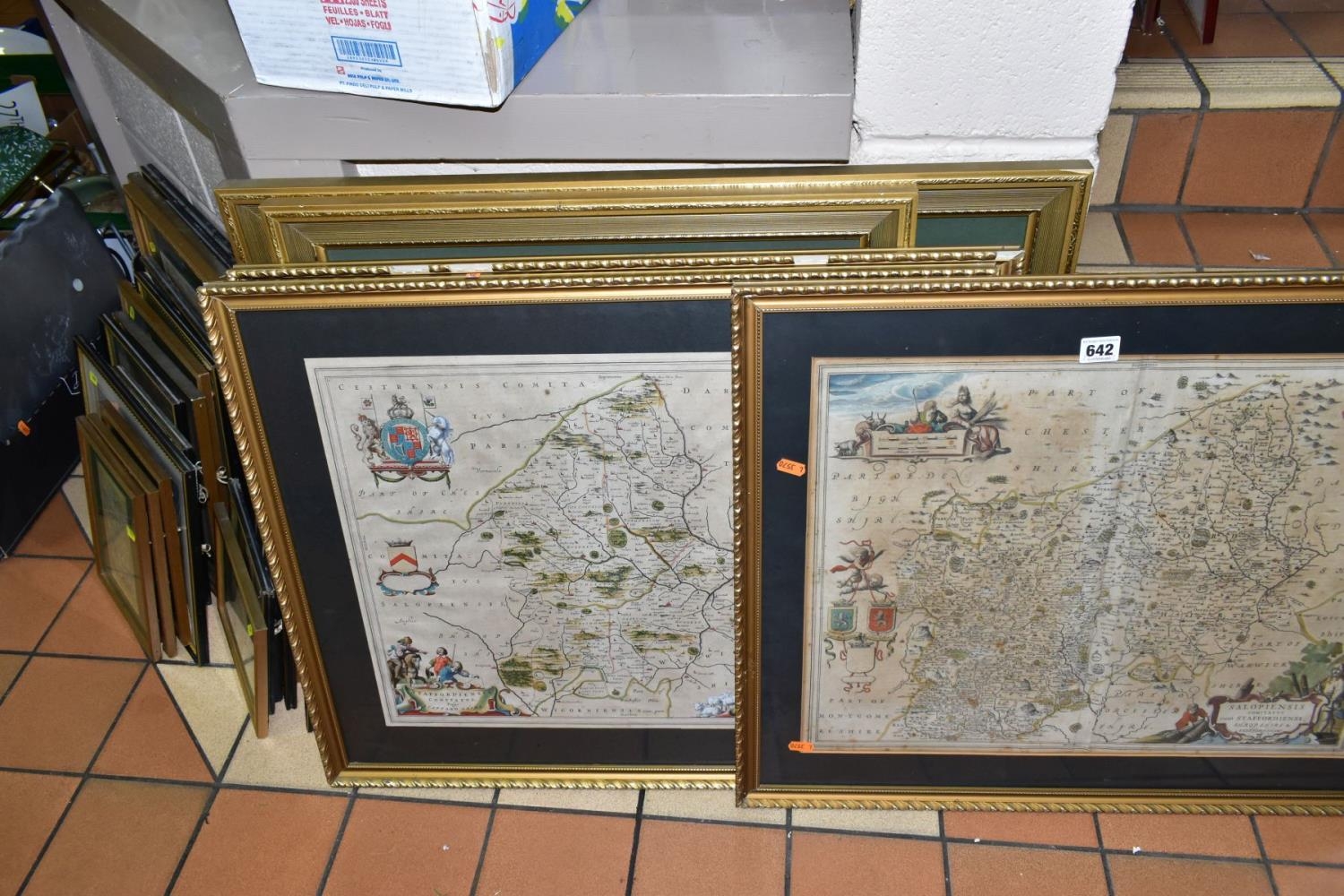
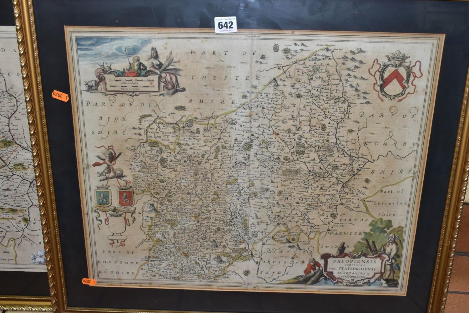
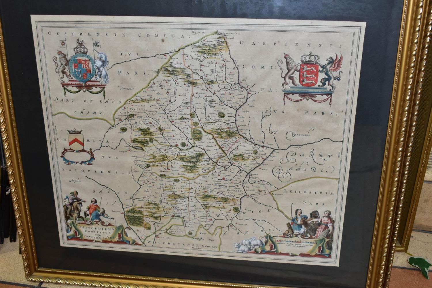
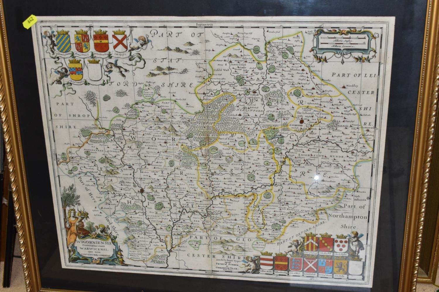
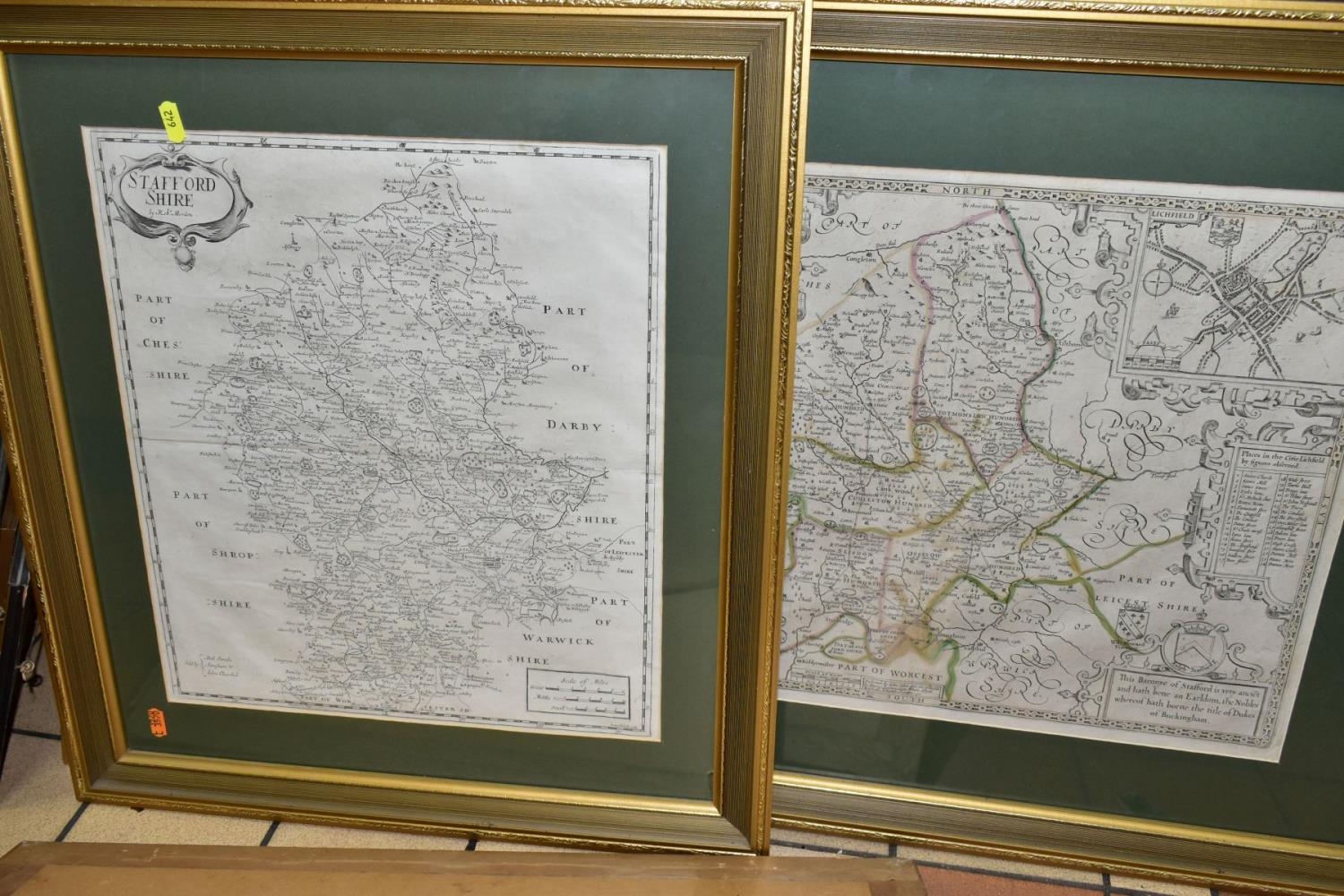
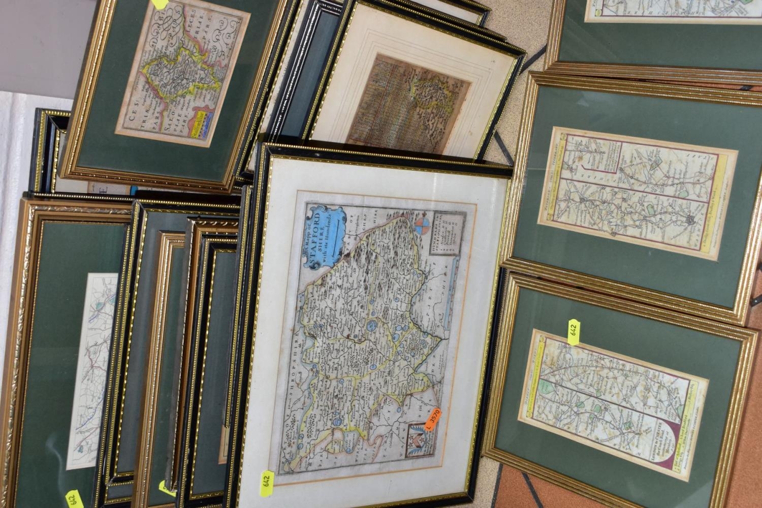
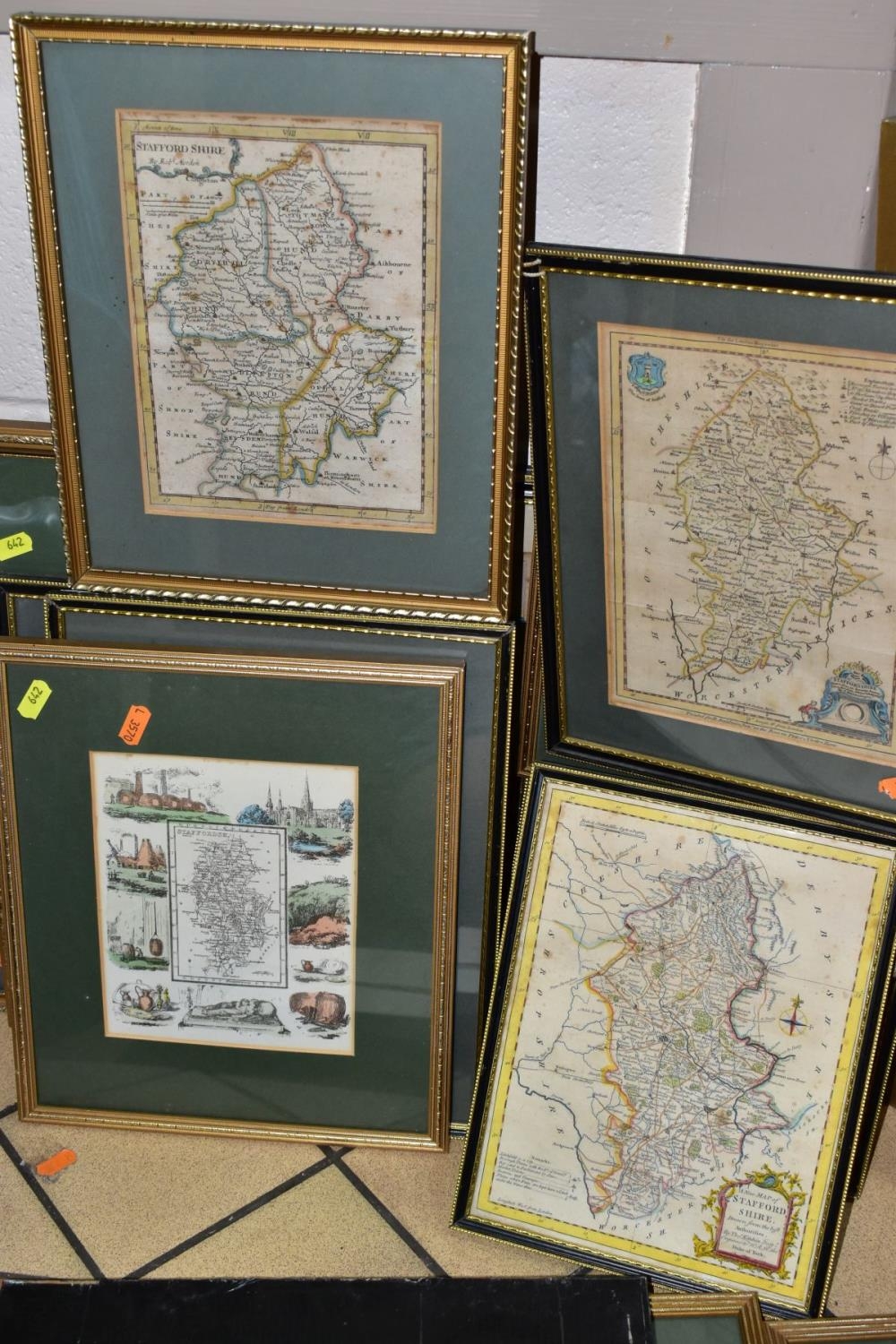
TWENTY SIX ANTIQUE MAPS, MOSTLY OF STAFFORDSHIRE, to include Jan Johnsson circa 1650, approximate size 43cm x 54cm, Joan Blaeu circa 1655, John Speed 1743 edition, Jan Jansson 1683 edition published by Schenk and Valk, Robert Morden 1722, Christopher Saxton 1637 edition, Emanuel Bowen 1755, Thomas Jenner?? distance calculator circa mid 1700's, three London to Chester coach road maps, John Speed Stafford Town map, Thomas Kitchen 'New Map of Staffordshire', J Ellis 'Modern Map of Staffordshire', etc
Fees apply to the hammer price:
Free Registration
27.6% inc VAT*
Flat Fee Registration
24.00% inc VAT*